Ben's WX Summary
- Updated: Sunday @ 10:55am
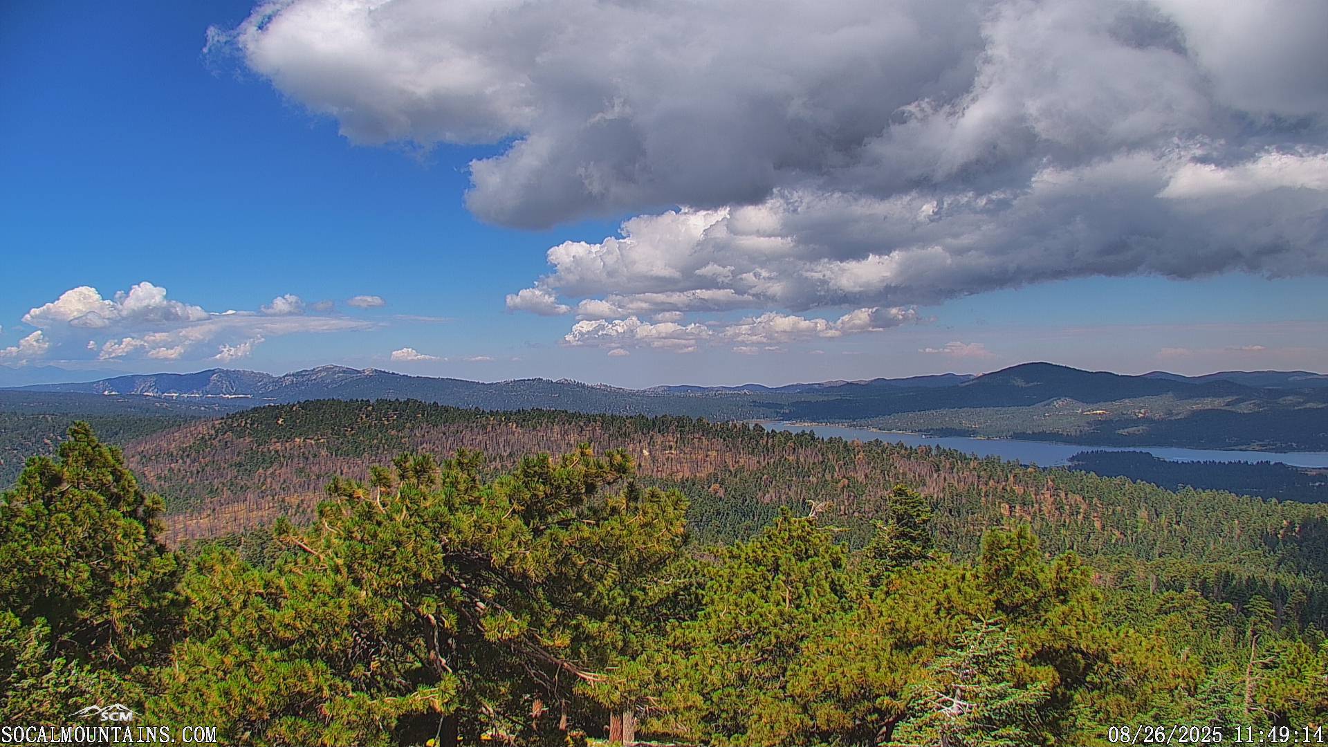
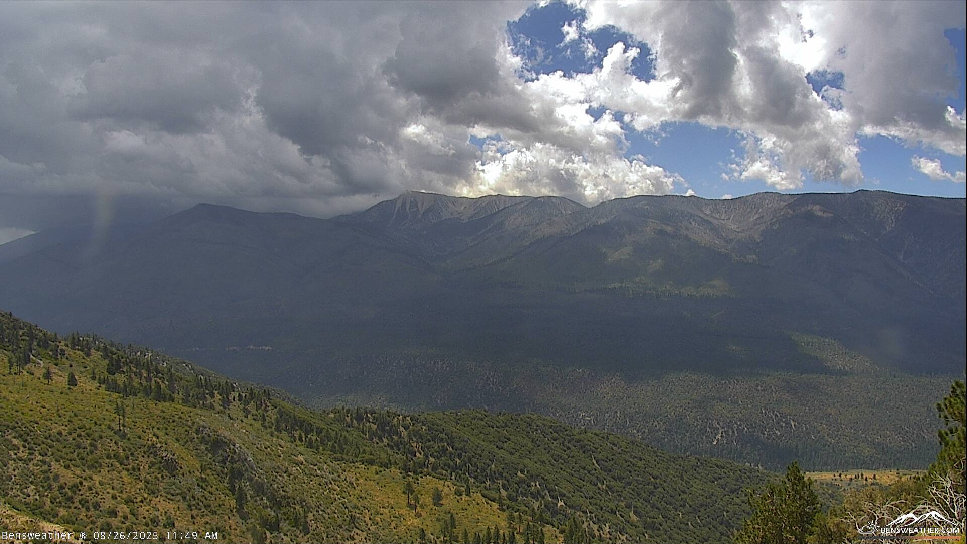
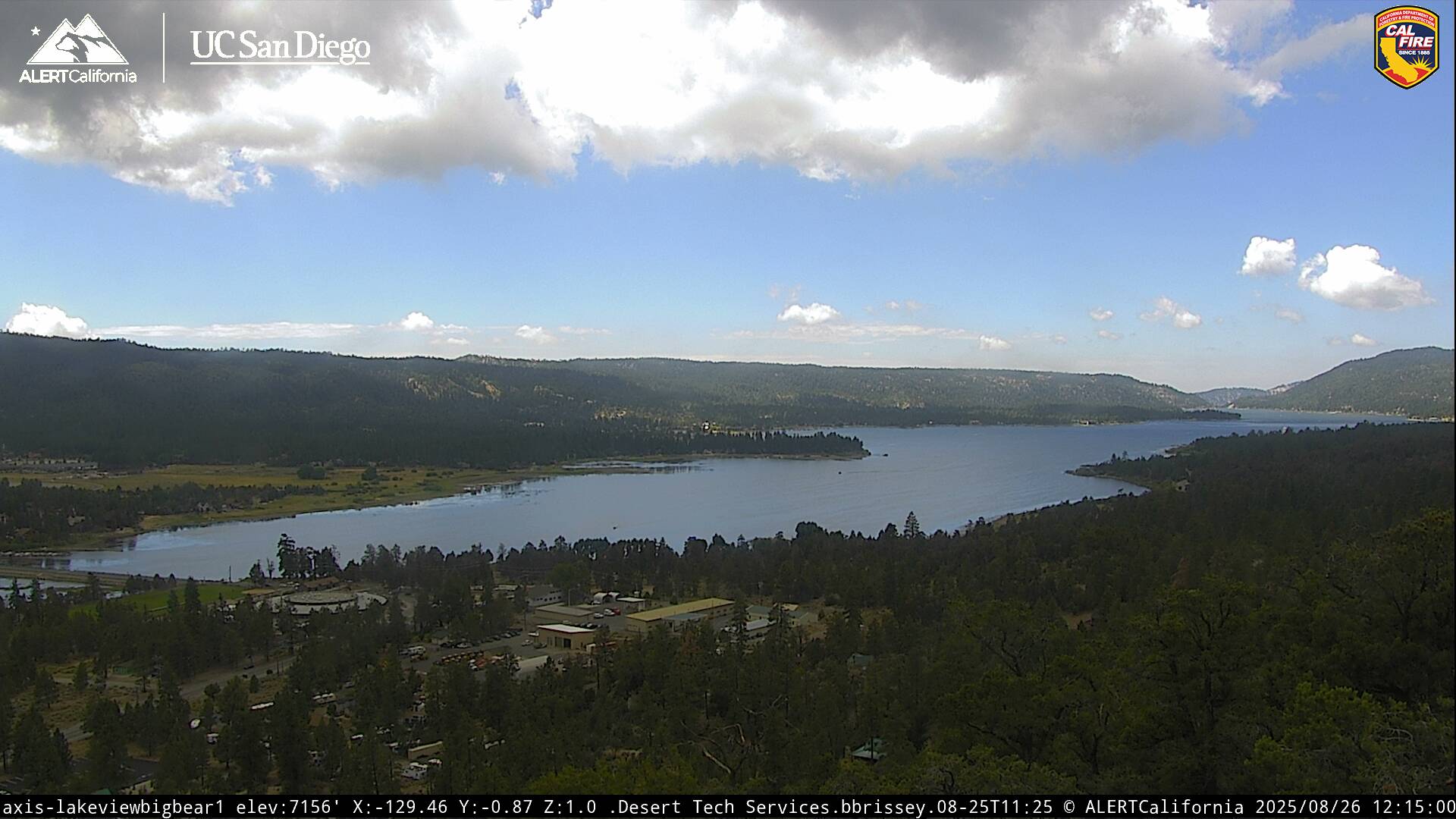
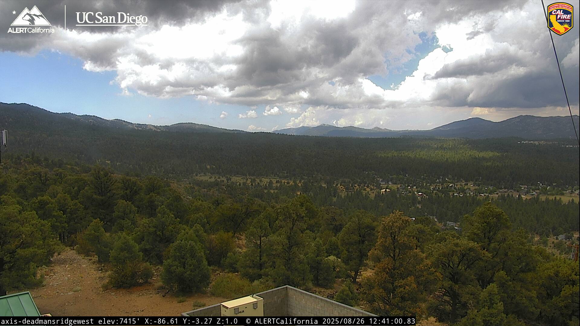
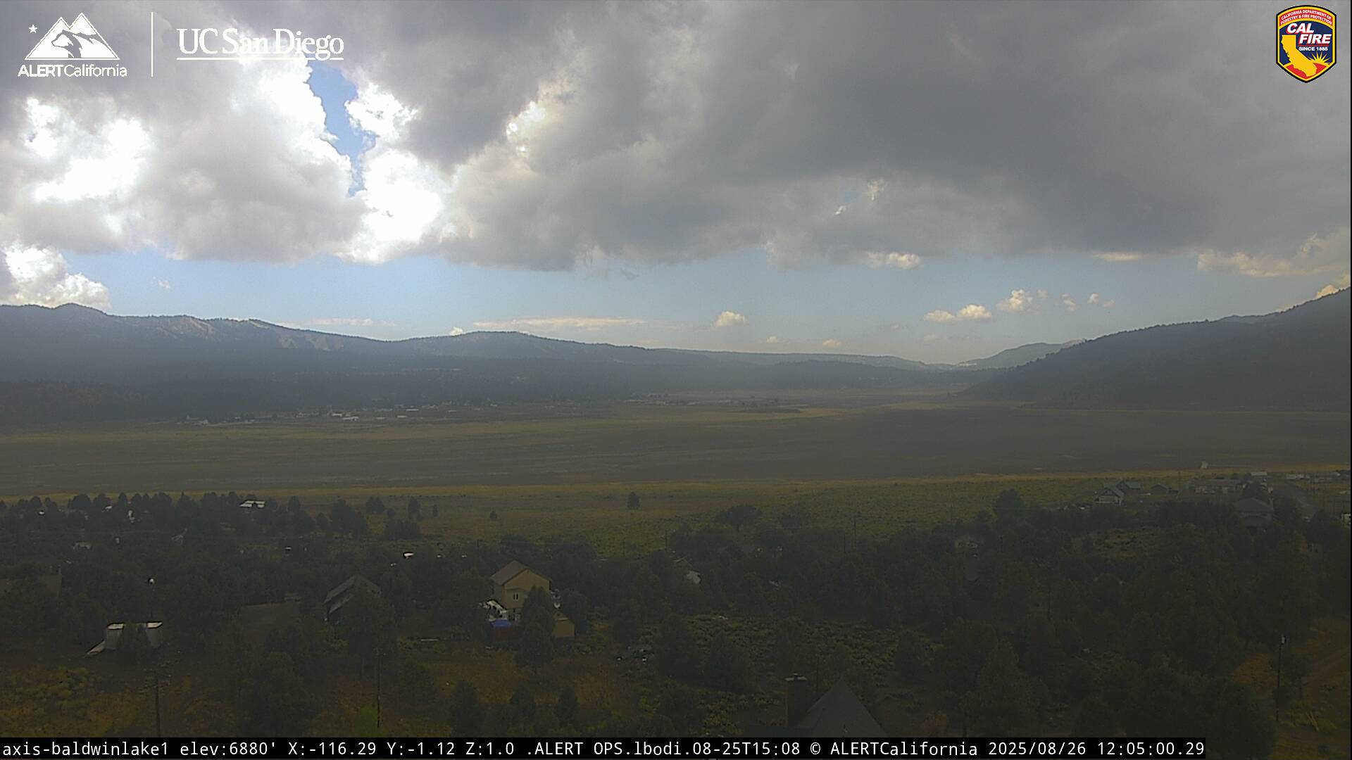
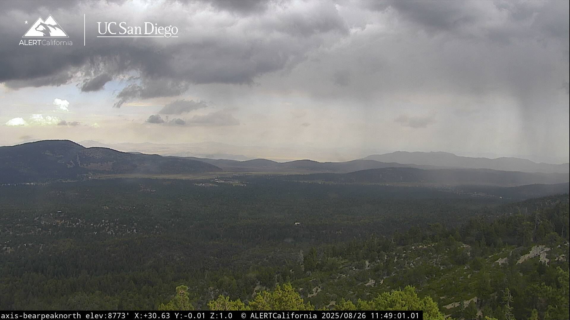
An easterly wave tracking north-westward through the region today will bring a few sprinkles and light showers to portions of SoCal. As the skies clear this afternoon, we should have enough instability for isolated-scattered showers and thunderstorms to develop. Cooler today courtesy of the cloud cover, with highs in the upper 70s to lower 80s. Any thunderstorms that develop may produce brief heavy downpours, gusty winds, frequent lightning, and small hail. A few showers or storms are still possible tonight with some nocturnal activity as lows cool to the 50s. A complex of storms will likely fire off over Arizona and northern Sonora today, which should send us another decent surge of moisture tomorrow with scattered, mainly afternoon showers and thunderstorms continuing throughout the week. This will keep temperatures near average as daytime highs hover in the upper 70s to around 80 degrees, while lows remain in the 50s. The monsoon flow will stay active throughout the week into next weekend with a varying degree of activity from day to day, possibly increasing in coverage again later in the week as another deep surge of moisture arrives. If you have outdoor activities planned through the upcoming week, be mindful of the weather, keep a watchful eye to the sky, and always head indoors when thunder roars.