
Today Slight Chance Rain Showers |
Monday Sunny |
Tuesday Sunny |
Wednesday Sunny |
Thursday Sunny |
Friday Sunny |
Saturday Sunny |
|
| High: 85 °F | High: 85 °F | High: 85 °F | High: 85 °F | High: 87 °F | High: 89 °F | High: 90 °F | |
Tonight Partly Cloudy |
Monday Night  Mostly Clear |
Tuesday Night Mostly Clear |
Wednesday Night Mostly Clear |
Thursday Night Mostly Clear |
Friday Night Mostly Clear |
Saturday Night Mostly Clear |
|
| Low: 56 °F | Low: 55 °F | Low: 53 °F | Low: 53 °F | Low: 55 °F | Low: 58 °F | Low: 58 °F | |
Ben's WX Summary
- Updated: Sunday @ 10:08am
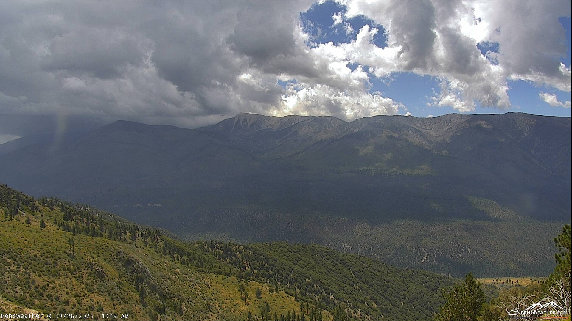
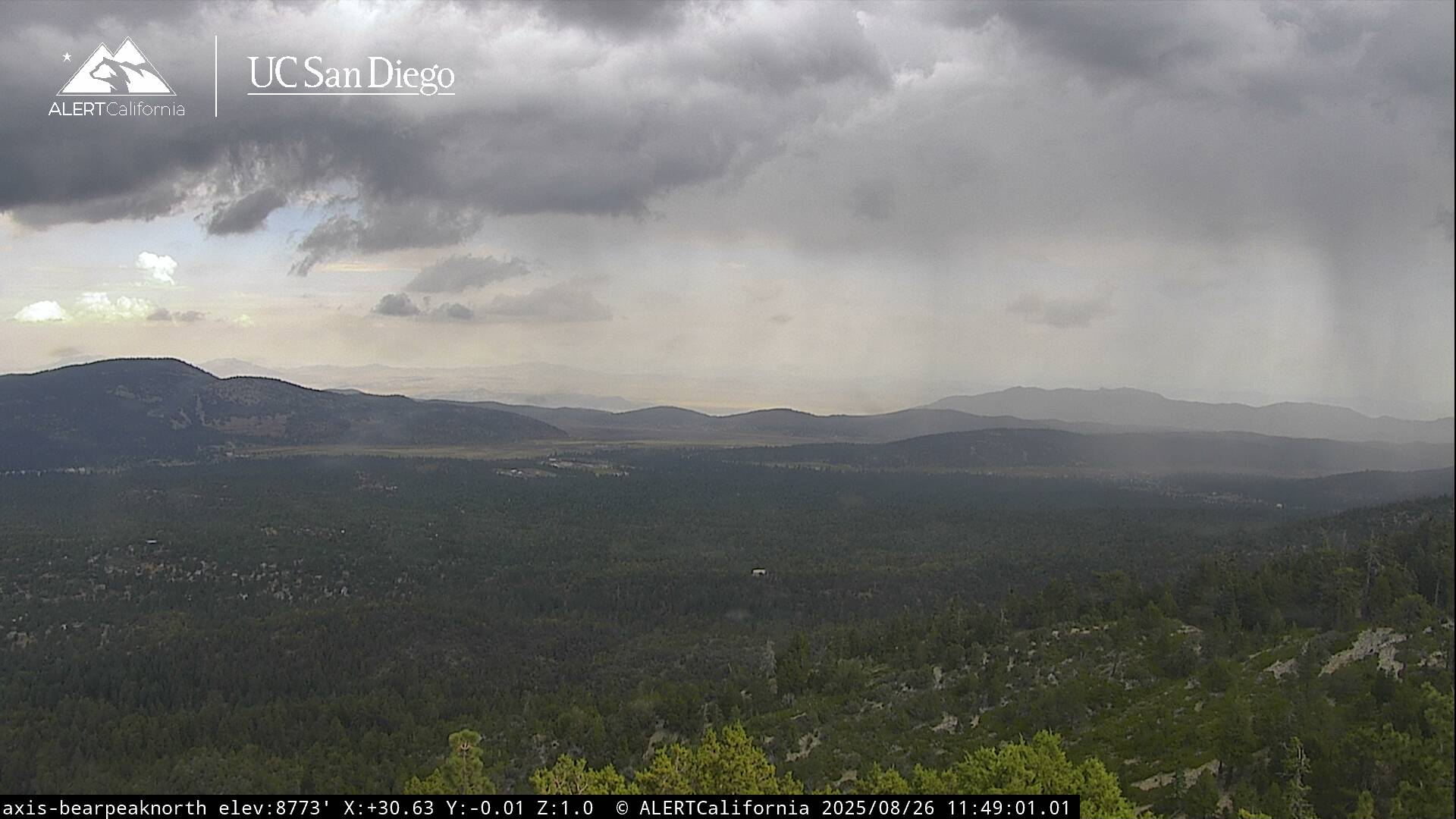
Looking at a very warm weekend out there as temperatures remain 10 degrees above average, but unlikely to break any records. We also have some mid-level moisture moving up thorugh the southeast, this could generate a few light showers today, even an isolated thunderstorm is possible this afternoon. We remain on the western edge of the monsoon flow and prone to these occasional surges in moisture should any large complex of storms fire off over Arizona or Sonora, MX. Daytime highs will top out in the upper 80s again today, while overnight lows cool to the 50s and 60s. Locally breezy during the afternoons with southwest winds 10-20 mph. High pressure will weaken just a bit next week to allow for some minor cooling, but still above average as the monsoon flow remains active to our east, possibly returning with some more appreciable moisture towards next weekend.
| Current Conditions | Wind | Rain | Outlook | ||||||||||||||||||||||||||||||||||||
|
|
|
|
||||||||||||||||||||||||||||||||||||
| Humidity & Barometer | Snowfall | Moon | |||||||||||||||||||||||||||||||||||||
|
|
|
|||||||||||||||||||||||||||||||||||||
| UV Index | Solar Radiation | ||||||||||||||||||||||||||||||||||||||
|
|
||||||||||||||||||||||||||||||||||||||


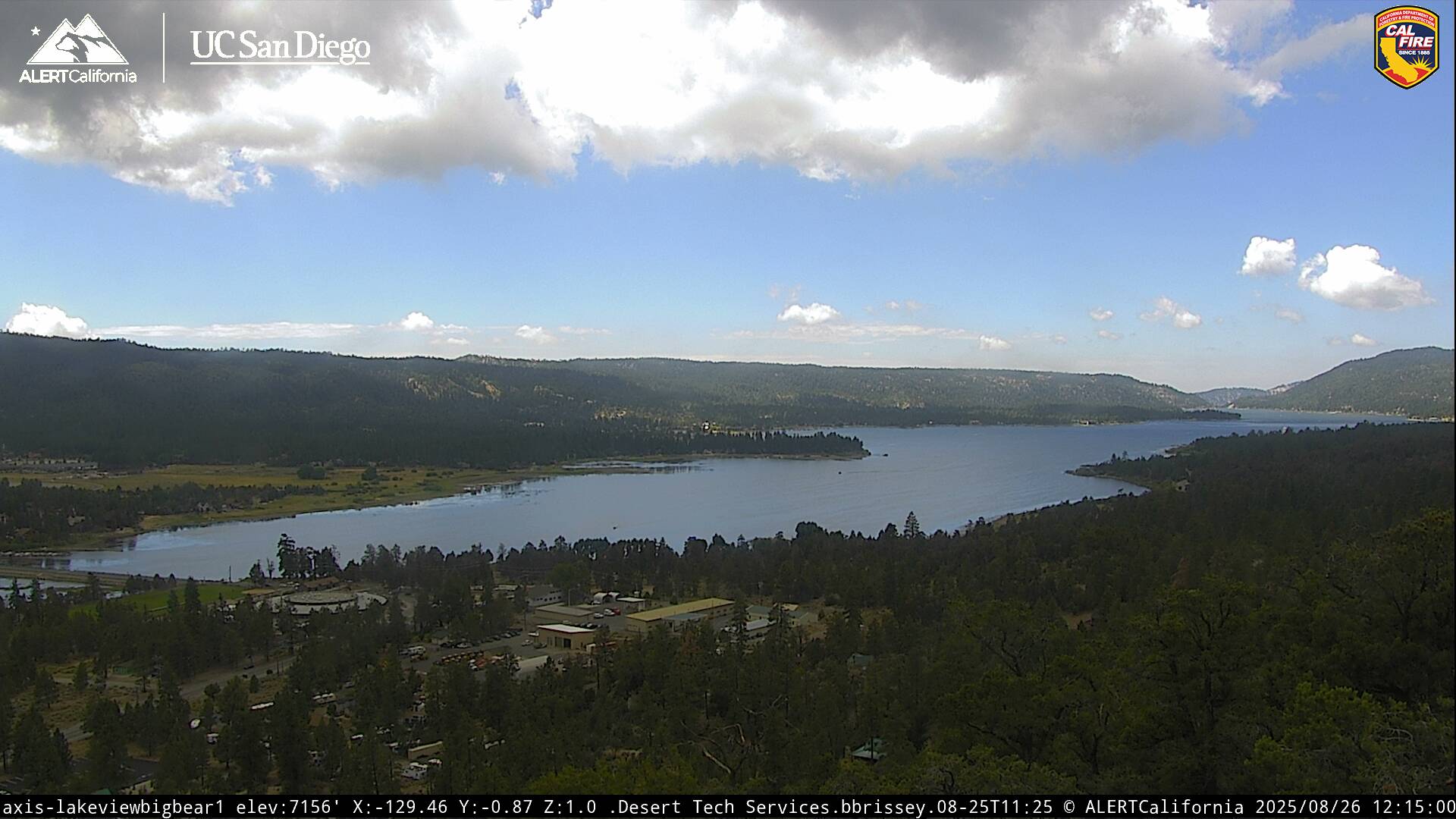
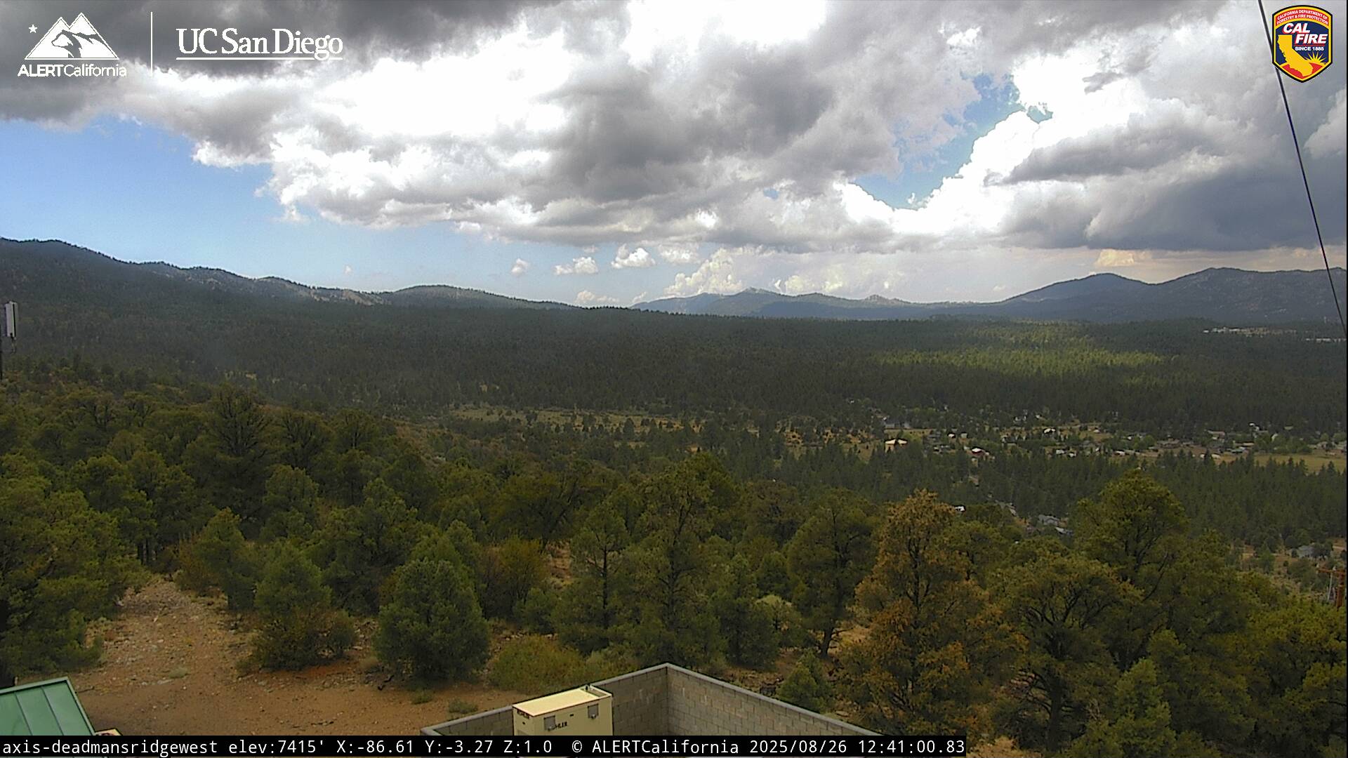
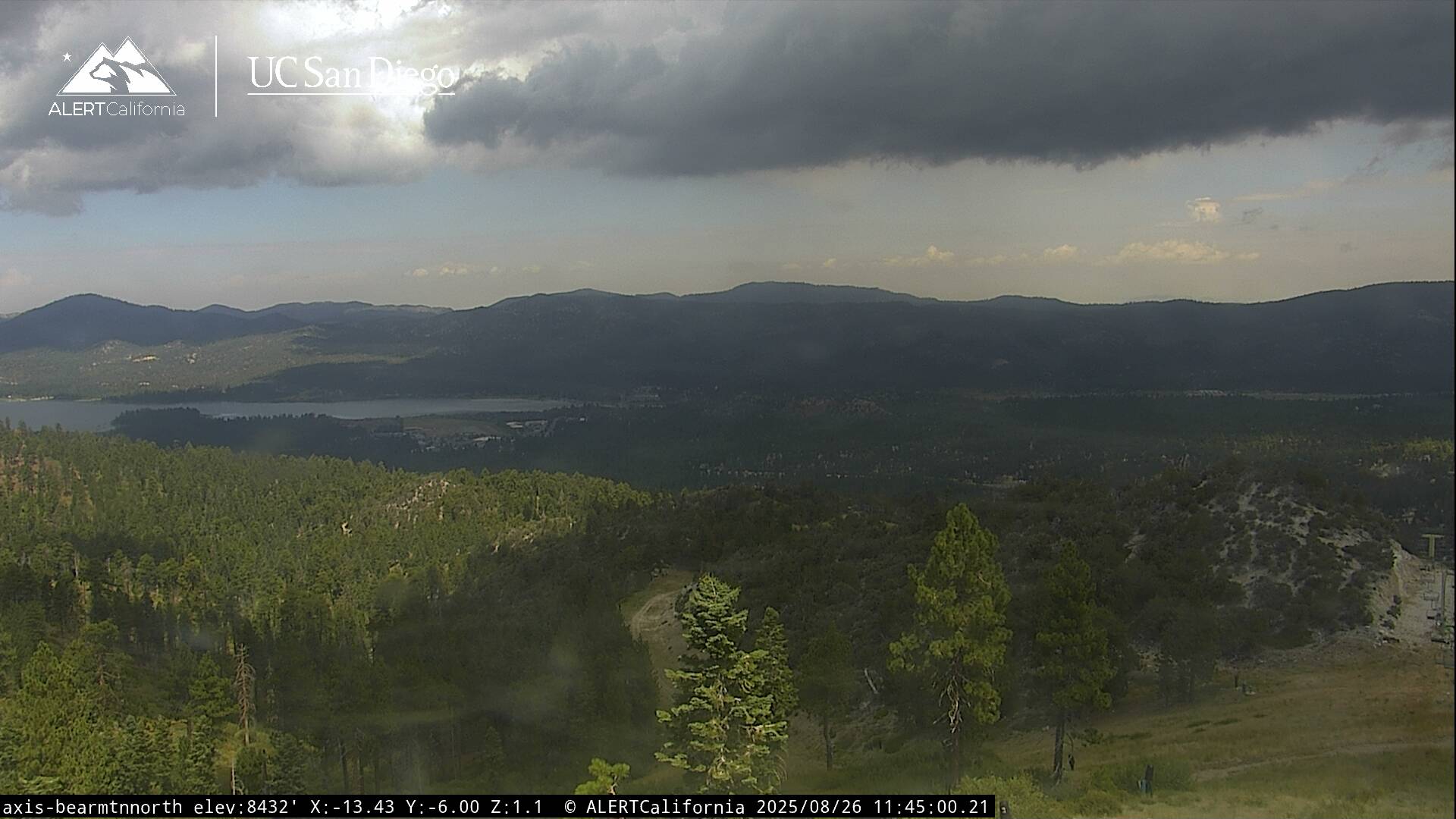
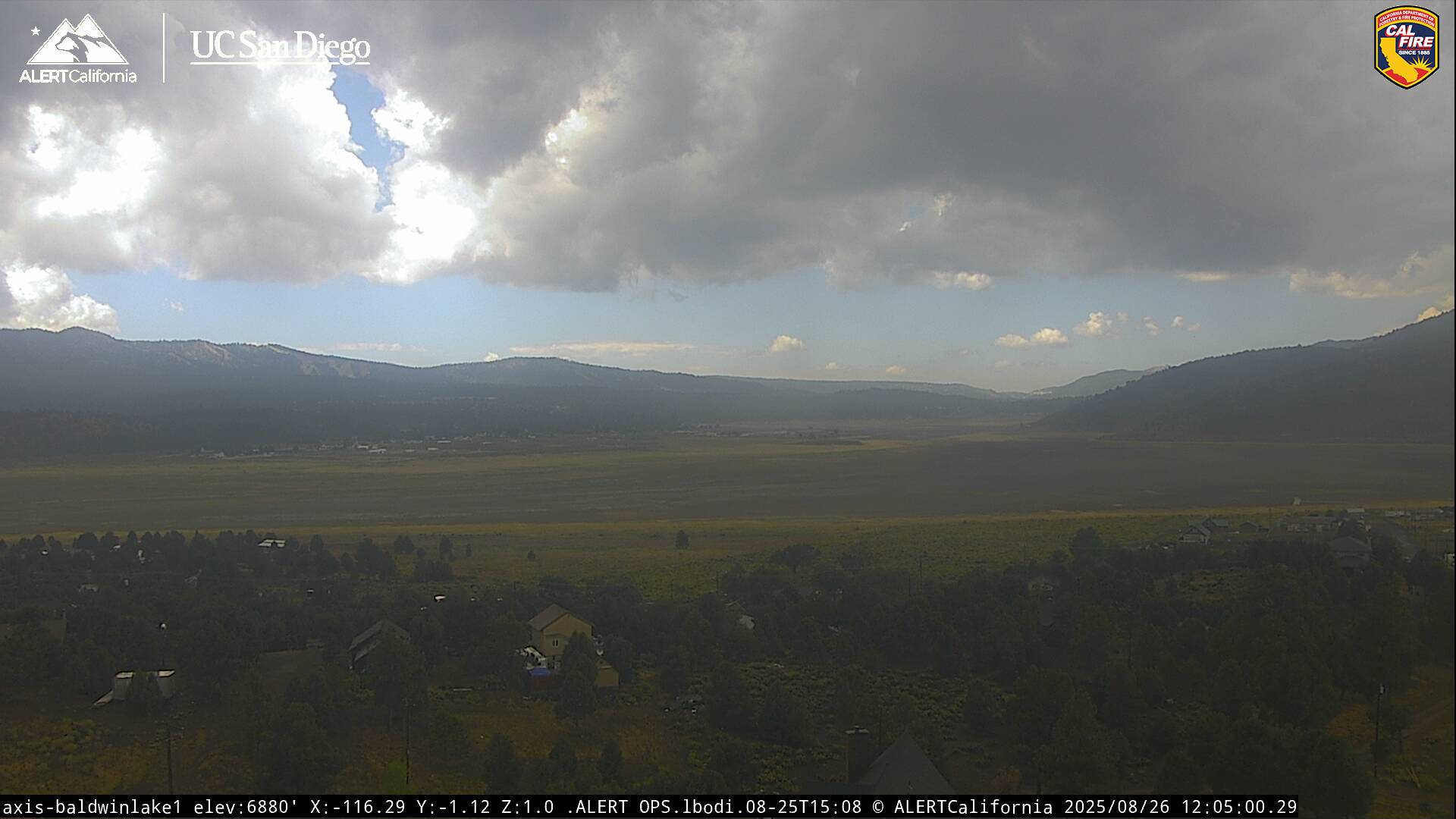
Live Cams